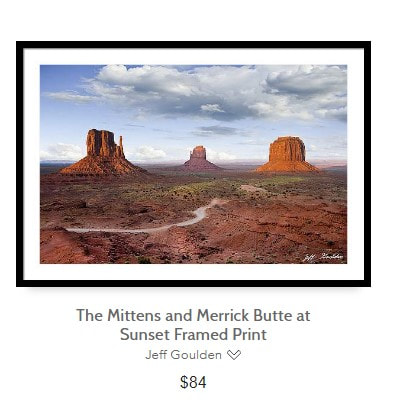
Monument Valley, on the Arizona - Utah border is not a national park in the traditional sense. Administered by the Navajo Nation, Monument Valley gives us some of the most iconic and enduring images of the American Southwest. The harsh empty desert is punctuated by many colorful sandstone rock formations. It can be a photographer's dream to capture the ever changing play of light on the buttes and mesas. The colors really "pop" during sunrise and sunset hours.
The Navajo name for the area is Tse Bii' Ndzisgaii, which means valley of the rocks. Monument Valley's rock formations, formed by sandstone deposits and uplift, are eroded remnants of the Rocky Mountains. Over time the formations were further shaped by wind and water. Monument Valley is not actually a valley at all. It is a mostly flat and desolate landscape, interrupted by the crumbling formations that rise hundreds of feet into the air. They are the last remnants of the sandstone layers that once covered the entire region.
Even to the first time visitor, Monument Valley will probably seem very familiar. This rugged landscape has achieved fame in the movies, advertising and brochures. It has been filmed and photographed countless times over the years. If a movie producer was looking for a landscape that epitomizes the Old West, a better location could not be found. Over sixteen major motion pictures and scores of commercials have been filmed in the area.
The best way to explore Monument Valley is by the 17-mile dirt road which loops through the park. The scenic drive takes two to four hours, and has eleven designated stops: the East and West Mitten Buttes and Merrick Butte, Three Sisters, John Ford’s Point, Camel Butte, The Hub, Totem Pole, Yei B Chai, Sand Spring, Artist's Point, North Window, and the Thumb. Rain God Mesa marks the geological heart of the park and holds special significance for Navajo medicine men. Many of the formations in the park have been named by the Navajo for spiritual references, or by early settlers of the area.
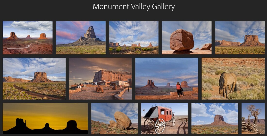
This gallery contains some of my favorite Monument Valley images that are available as downloads and fine art prints. To view the gallery, click here or on the photo collage above. When you are in the gallery, click on a thumbnail to enlarge an image. To navigate the images click on the arrows. To see the captions click on the (i) symbol.